Steg - Schnebelhorn circular hike

| Length | Ascent | Descent | Minimum height | Maximum height | Approximate duration |
|---|---|---|---|---|---|
| 16.46 km | 733 m | 733 m | 695 m | 1287 m | 5:00 h |
Marco and Nadine with Nemesis, Mogli and Lilifee (from 03.06.18):
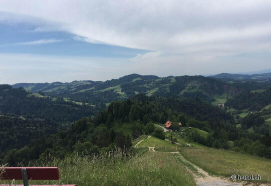
We parked on the free parking lot at the ski lift Steg, from there we started our hike, along the Töss towards Schnebelhorn. A beautiful hiking trail with a pleasant ascent. Pleasant in the shady forest, the dogs could run free almost the whole way. On the high Bärloch (1050 m a.s.l.) the hiking trail follows the road for a while, passing free-running peacocks. Soon we reached the restaurant Tierhag, where dogs are very welcome. Then a short but steep path leads along the cow pasture to the summit of Schnebelhorn (1292 m above sea level). There we signed the summit book and enjoyed the beautiful view. On weekends, this summit is very well visited, but there are many paths up to the highest summit of the canton of Zurich, so that the many hikers are well distributed. A pleasant path leads down over the Rotengübel (1070 m above sea level), almost exclusively through shady forest paths back to the car park in Steg.
The gallery does not contain any pictures yet


